| Just show me the pictures. | Having flown through the African bush in 1997 in a C-172RG, I jumped on the opportunity to participate in a flying trip through Australia advertized by Lorikeet Airtours. Having a local organizer saves huge amounts of time otherwise needed to collect the right information and plan such a trip. |
Not only was I the first to sign up, I was the only one to sign up. Since the tour was planned for multiple aircraft with a guide leading the way, this was a real problem and by the end of May I got the bad news: the tour was canceled. But I'm pretty stubborn and asked Louize Foulton, the organizer, to help me set up the a tour for one plane, using the same itinerary and reservations that she had already planned. She agreed and did a wonderful job with assistance ranging from airport pickup, to charts, to license validation, to reservations, and on and on.
Getting a temporary license to fly aircraft with Australian registry is a simple matter of showing your US license and medical and paying $36 (US). This license is valid for day VFR only no matter what ratings you have in the States and is subject to a checkout by an instructor. I had to plan and fly a short cross country. A German pilot I met on the trip simply had to fly in the circuit (aka pattern).
The Australian rules and procedures are pretty similar to those in the US. They use the same alphabet airspace soup down under. One main difference is that you need to file a flight plan in order to enter any controlled airspace other than E. For my trip this was not really a problem since you want to file a flight plan anyway when you fly over hundreds of miles of desert.
There are all sorts of different kinds of airport procedures. First there are uncontrolled fields. You self-announce on the "area frequency" which happens to be the center frequency. Then there are CTAF airports that have their own frequency which you're required to use within 5nm and 3000ft. Not to make things too simple, there is a third kind of non-tower airport, the MBZ (mandatory broadcast zone), where you announce within 15nm and 5000ft. As for tower controlled airports, you have those within a class D airspace and GAAP (general aviation aerodrome procedures) airports. Each of the GAAP airports seems to have its own local procedures that you have to figure out from the airport facilities directory (ERSA). For exmple here are the GAAP procedures for Bankstown airport, the GA airport for Sydney.
The AVFAX weather information system works very nicely and is trivial to use. You dial a toll free number, punch in the numeric codes for the areas or airports you are interested in and give a fax number. Five minutes later you have a faxed copy of the weather report and relevant notams. The format is similar to our Duats briefing material but seemed less cluttered. The system is accessible through the web as well but it's much easier to find a fax machine in the outback than an internet connection.
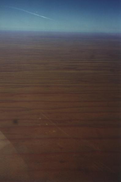
For navigation I brought along a Garmin 89 with an international database. The 89 has a moving map which shows airports and navaids but does not include airspace information. Without a GPS navigating across hundreds of miles of featureless desert would be quite a challenge. Most airports seem to have an NDB on the field. So the alternate procedure would be to track outbound on the right bearing, figure your wind correction, and maintain that heading till the next NDB comes over the horizon.
Other essentials included a handheld radio and about 20 pounds of books and charts - you need lots of charts. For terrain features you use WAC charts but they don't show any frequencies or airspaces. For that information you carry the appropriate L chart. For the more congested airspace there are VTC (VFR terminal charts), roughly equivalent to our Terminal Area Charts.
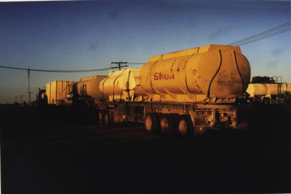
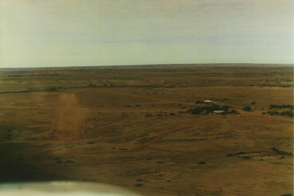
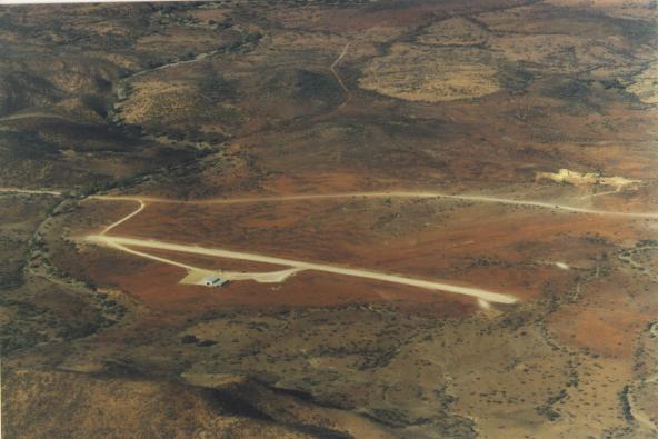
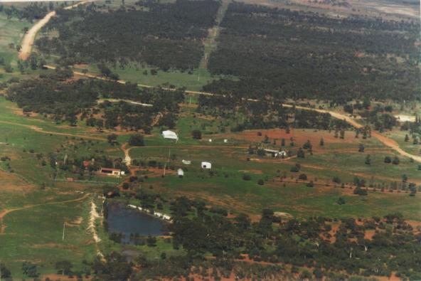
There are plenty of airports in the outback. Private strips around farms are often dirt or grass but most towns of any size have hard surface runways. Even Birdsville (YBDV), population 105, has a 4700 ft asphalt runway and occasional airline service. Fuel is available at most public airports at prices somewhere between $1.84 and $2.52 (US) per gallon. Most public airports charge a landing fee but no parking fee, at least I never paid any. The landing fees are collected from the FBO/ower of the plane which seems a lot more convenient than stuffing the parking money into little envelopes.
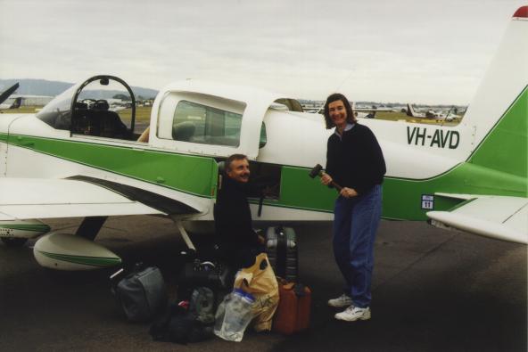
I rented a tiger, VH-AVD, at Brisbane's Archer Field and headed west. The airspace around Archer Field is a bit intimidating if you're not familiar with the landmarks and local procedures. There is Brisbane International class C airspace overhead (starting at 1500ft) and north east of the field. To the south there is a restricted area and to the west you have Amberly military field.
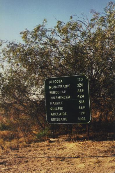
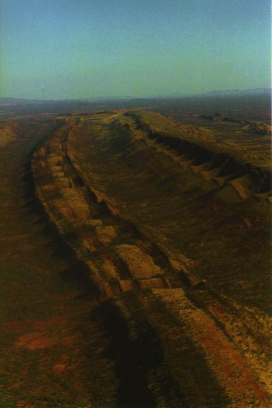
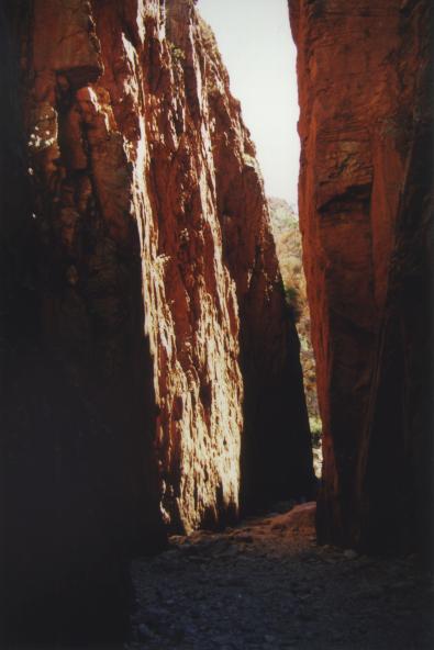
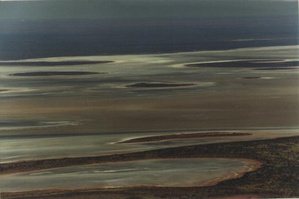
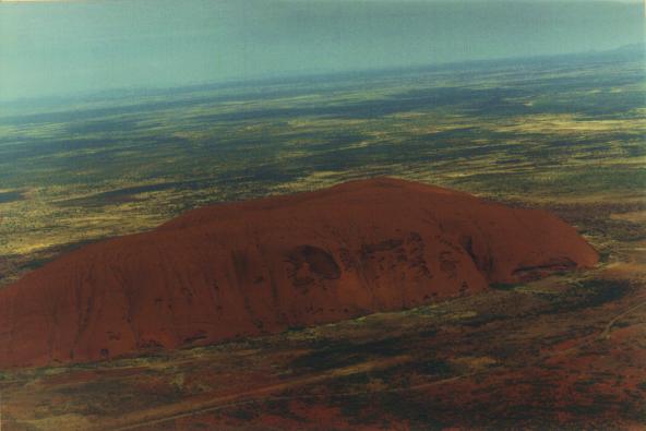
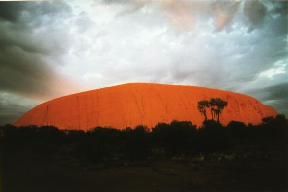
Once we were past the coastal range flying became easy, even boring. The weather in the outback was perfect all the time. There were just barely enough high clouds to obscure the sunset at Ayer's rock. But the coastal areas between Sydney and Brisbane were unseasonably cloudy and we had to cancel our last planned stop in Coffs Harbour due to bad weather.
Here is a map of the flying part of our trip. Overall the trip was a great success and we had a wonderful time. AVD performed flawlessly (once I got it started in the morning). Flying is certainly the best way to get a sense for the outback.